Grlo Sokolovo - Fall Photoshoot

It’s late October, and fall colors are in full swing. We hopped in the car and drove an hour away to Grlo Sokolovo, a viewing point of the Cijevna canyon and the Prokletije mountain range. What should have been an hour-long hike turned into a 3-hour hike, but in the end, we got to see some beautiful fall foliage, take a plethora of pictures, and the little guy got to witness an excavator in action. SCORE!

To view the entire album click here.

Kolasin

The great thing about living in Podgorica is our proximity to the beach AND the mountains. About an hour NW of Podgorica, driving through a scenic windy road with tunnels and the occasional canyon, is Kolasin — a ski resort town.
Many thanks to Suzan, Michelle, and Vince for this lovely October birthday gift -- a weekend getaway. The Bianca hotel was fantastic with its cozy rooms, indoor swimming pool, and our favorite hike around Lake Biograd only 20 minutes away.

Lake Biograd is one of 5 glacier lakes in Biogradska Gora National Park. The hike goes around the lake and through the untouched forest with a diversity of plants and trees over five hundred years old.

To view the entire album, click here.

Matarredonda Ecological Park

Just a 45 minute drive from our place -- up a windy road along the Eastern Hills -- is the Matarredonda Ecological Park.  At ~11,200 feet above sea level, the park contains two unique eco systems: Andean cloud forest and Páramo (part of the Cruz Verde Páramo).   We hiked along one of the main trails in the park, a relatively flat trail called camino real allegedly set by the Muiscas and later by the Spanish Conquistadors that connected the Eastern Hills and Bogota.  We hiked along this trail and stopped briefly for lunch while enjoying the beautiful views of the páramo with the clouds rolling up the mountains.  Living in the city has unfortunately made Annika slightly uncomfortable with the experiences of hiking.  The trail was filled with rocks, flowing water, mud, and sponge like grass but she managed to enjoy it for the most part till about 45 minutes into the hike her foot sank so deep in the mud that it got inside her boots and her pants.  With Annika partly wet and the temperature dropping to the upper 40s, we decided to head back.  We still managed to hike for a couple of hours or roughly 2 miles though.  We hope to get Annika back out there soon.

To view the entire album click here

Mud!
Heading back after a little spill
Back in good spirits
Puchi's perspective
Mud!
Nigh Nigh!

Hiking Pichincha

Pichincha is an active stratovolcano just west of Quito.  It consists of two peaks, Guagua Pichincha, the active caldera with the last eruption in 1999, and Rucu Pichicha which is inactive.

Our hike to Rucu Pichincha began by taking the teleferico, equivalent to a gondola, to the starting point of the hike at ~12,700 feet.  On this day the sky was relatively clear giving us some fantastic views of Quito.  Although, at this point, the path was pretty clear, free of rocks, once we hit ~13,500 feet I needed to take some serious deep breaths during the more steep climbs.  At about~14,000 feet the trail got more narrow with some more steep drop offs on the side.  

We hit a point where the path required some simple rock climbing.  I say simple, as it would be the case for most people, but given that I am afraid of heights, if at any point I slipped, I would have rolled down the side of this rocky mountain.  To me, the hike became unenjoyable and I still wanted to return home and play with Annika.  Julia, of course was perfectly fine but very understanding and when I mentioned turning around she was perfectly fine with it.

According to the map we were somewhat close to the crater of Rucu but given the steep climb at altitude, this could have taken us an hour or so to complete.  We ran into 2 people suffering from altitude sickness.  At our highest point, ~14,300 feet, we hit what seemed like the spine of the mountain, where if you faced east you looked down upon Quito, and if you faced west you looked down upon the cloud forest and eventually the ocean.  Unfortunately the clouds obscurred our view west.  Facing north or south you see volcano alley, with other volcanic peaks dotting the skyline.

Oh well...better luck next time if there is one.

To view the entire album, click here.

Babymoon Weekend at Cotopaxi

Soon all of our attention will be consumed by our baby girl, entering this world in late April, God willing. To "celebrate" we headed south to The Avenue of the Volcanoes for our BabyMoon over President's Day Weekend and stayed at some fantastic Haciendas. Many thanks to Suzan, Michelle, and Vince for the birthday gift! The Avenue of the Volcanoes was named in 1802 by the German exploreer Alexander von Humboldt. Known as the spine of Ecuador, it can also be thought of as a ladder where the north side of the ladder resides in Quito and goes south several hundred kilometers. The sides of the ladder are where the mountains and volcanoes reside while in the middle is a fertile valley at an elevation of around 9,000 ft. Driving south from Quito, along the Pan American Highway, on a clear day one can see off in the distance Volcan Antisana (18,860 ft.), Volcan Illiniza (17,218 ft.), and the famous Volcan Cotopaxi (19,350 ft). Cotopaxi is roughly 50 km south of Quito.

We stayed at 2 haciendas, each with its own history. The first was Hostería La Ciénega. To paraphrase from Insight Guides - Ecuador & Galapagos, its main house "is a stone mansion with huge windows, stone-cobbled patios and Moorish-style fountains". It was built in the mid-1600s for the Marquis family. The bell in the stone chapel, installed in 1768 after 20 years of devastating eruptions from Cotopaxi, is still rung every Sunday morning. It is said that the Maenza-Lasso family plotted Ecuador's independence from Spain here in the 1800s. The food here is fantastic and the menu contains a wide variety of dishes.

For our second hacienda we stayed at San Agustin de Callao, one of the 5 best haciendas in Ecuador. Again paraphrasing from Insight Guides - Ecuador & Galapagos, it was built on an Inca palace site. Its chapel and dining room are built "entirely within the original Inca stonework". The Hacienda offers horse-back rides around Cotopaxi that I'm sure are with impressive views of the volcano on a clear day. We opted out of the ride given Julia's belly but we thoroughly enjoyed the fantastic meals!

During the day we headed to the Parque Nacional Cotopaxi. Upon entering the park we noticed pine trees on both sides of the highway. The Monterrey Pines were brought in from California and grow much quicker than the native trees, perfect to supply the demands for lumber in the area. The problem, however, is that this pine spread quickly and overtook the native vegetation. Continuing our drive into the park, and ascending in altitude, the road turned from paved to gravel. At the visitor's center we stopped and did a small hike overlooking what appears to be a gorge created by lava flows from Cotopaxi. We then continued the gravel road up the mountain eventually stopping at the parking lot just below El Refugio. This is where nearly 15 years ago Julia stayed a couple of nights acclimating before climbing up the volcano. Roughly ~14,000 feet high high we could see El Refugio and the glaciers Julia had to climb to get to the peak. The view down was impressive. We later drove back down and somehow veered off into the off-roads heading towards Volcan Sincholagua. The off-roading was fun with Mars-like terrain and massive rocks dotting the area. It was quiet and surreal with just the occasional contact with other off-roaders and wild horses. Eventually we stumbled on a creek from which Julia recalls drinking 15 years ago -- this is most likely how she got Giardia given she saw a dead horse further up the creek.

The next day we returned to the park and took a nice hike around Limpiopungo Lagoon. On a clear day one would be able to see Cotopaxi but on this day clouds again blocked our view.

We will be returning frequently to this incredible park and hope to capture the volcano unobstructed by clouds. Obviously this is the most I've written in a blog but the area is just fantastic.

To view the entire album click here.

Photo & Video Sharing by SmugMug
View from the El Refugio parking lot at roughly 14,000 feet.
Road heading back towards Cotopaxi
Fireplace in the bathroom
Cotopaxi in the background obstructed by clouds

http://svelazquez.smugmug.com/Qutio/BabyMoonCotopaxi/i-CM9mQdc/A

Trip To Reserva Yanacocha (Success-ish)

We woke up Sunday morning with the sun lighting our bedroom like clock work at 6:30 a.m. Given that it was a sunny day, we decided to take another stab at Reserva Yanacocha. As we got closer to the Reserva, the visibility began to drop -- we were upon the cloud forest once again. But this time there was no rain but just clouds so we decided to park and go for a hike along the flat trail. We were glad we did. The vegetation along the Inca trail was impressive. I've never seen lettuce that big! Because of the constant dampness from the clouds, the flowers seem to be constantly blooming. This provides enough nectar to feed the plethora of humming birds.

To view the entire album click here.

Photo & Video Sharing by SmugMug

Road Trip to Thomas, WV

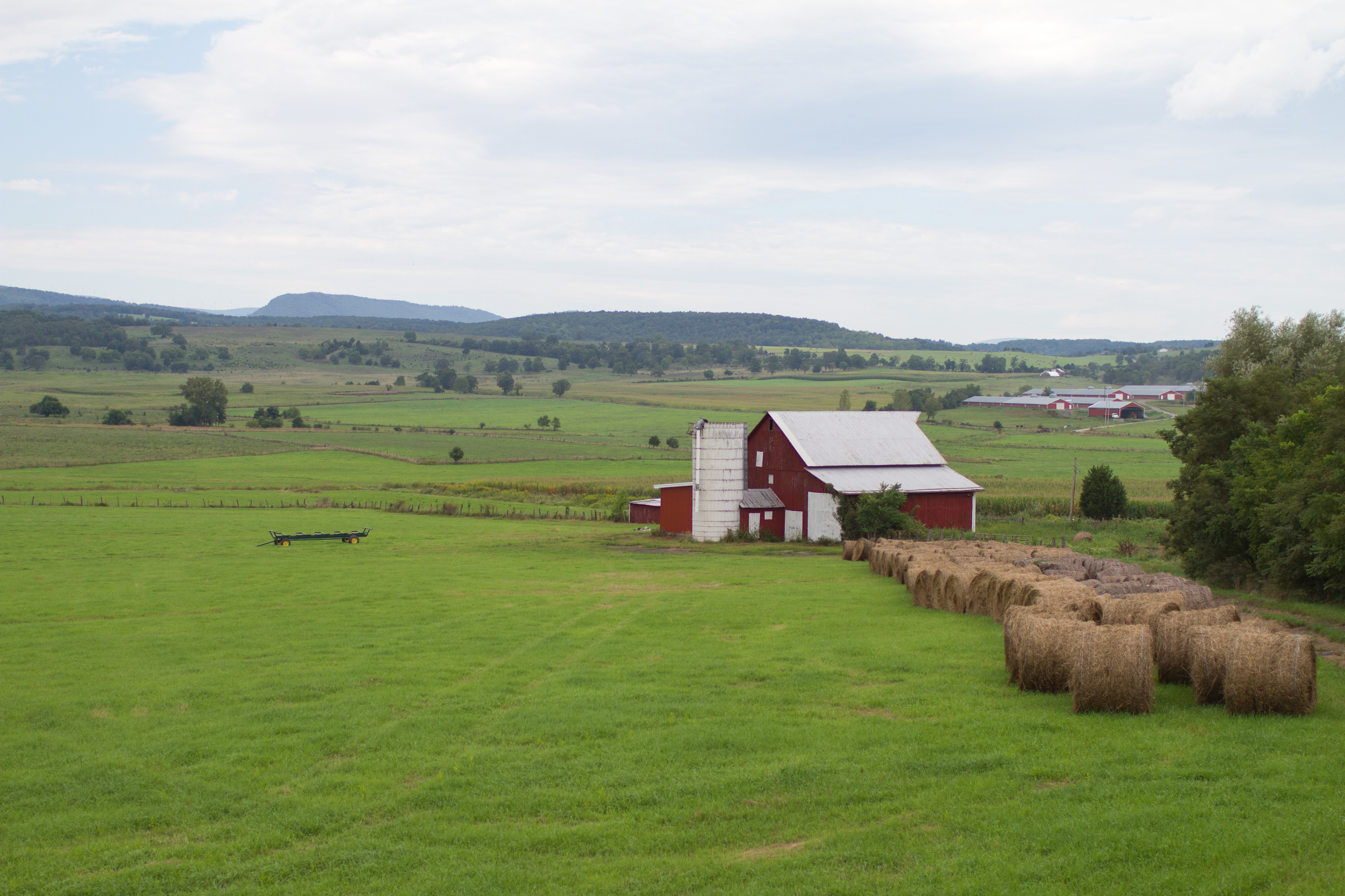
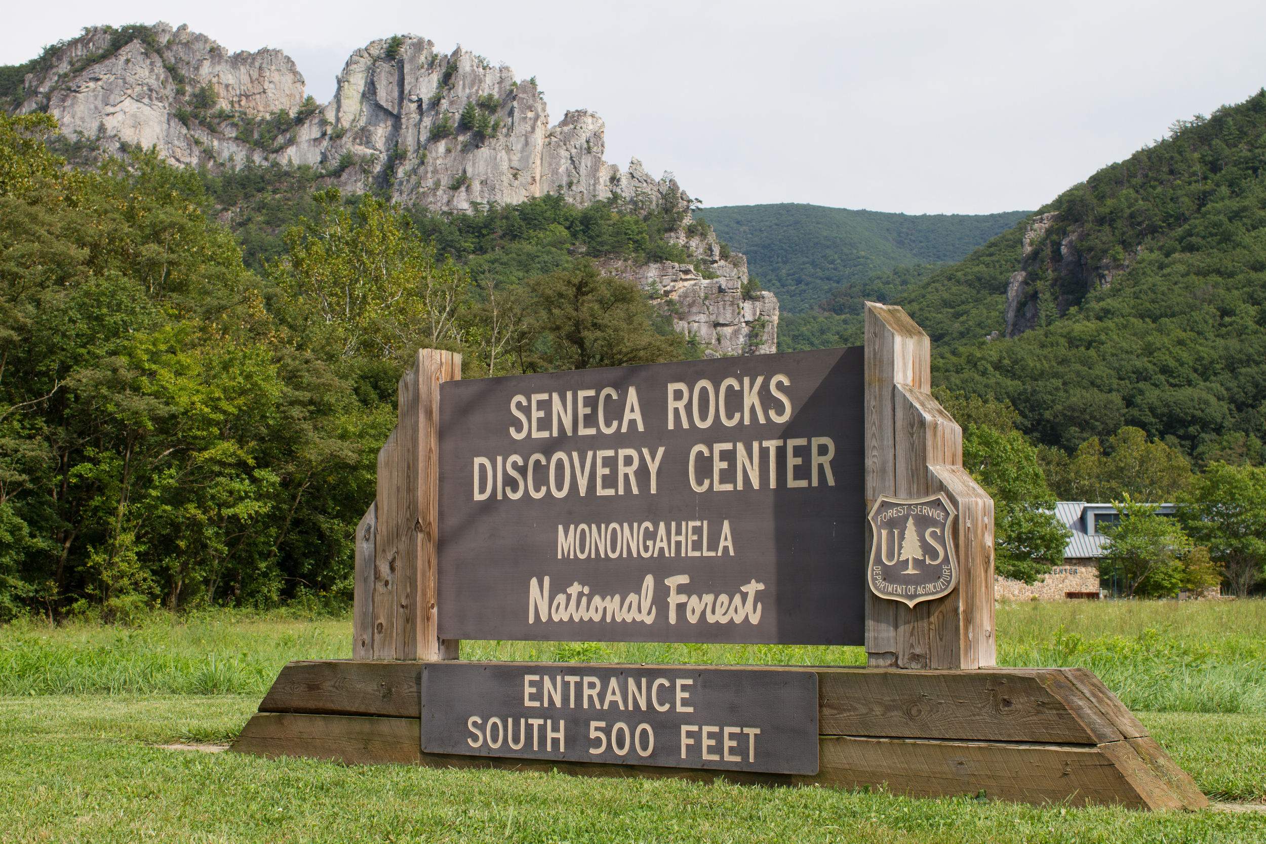
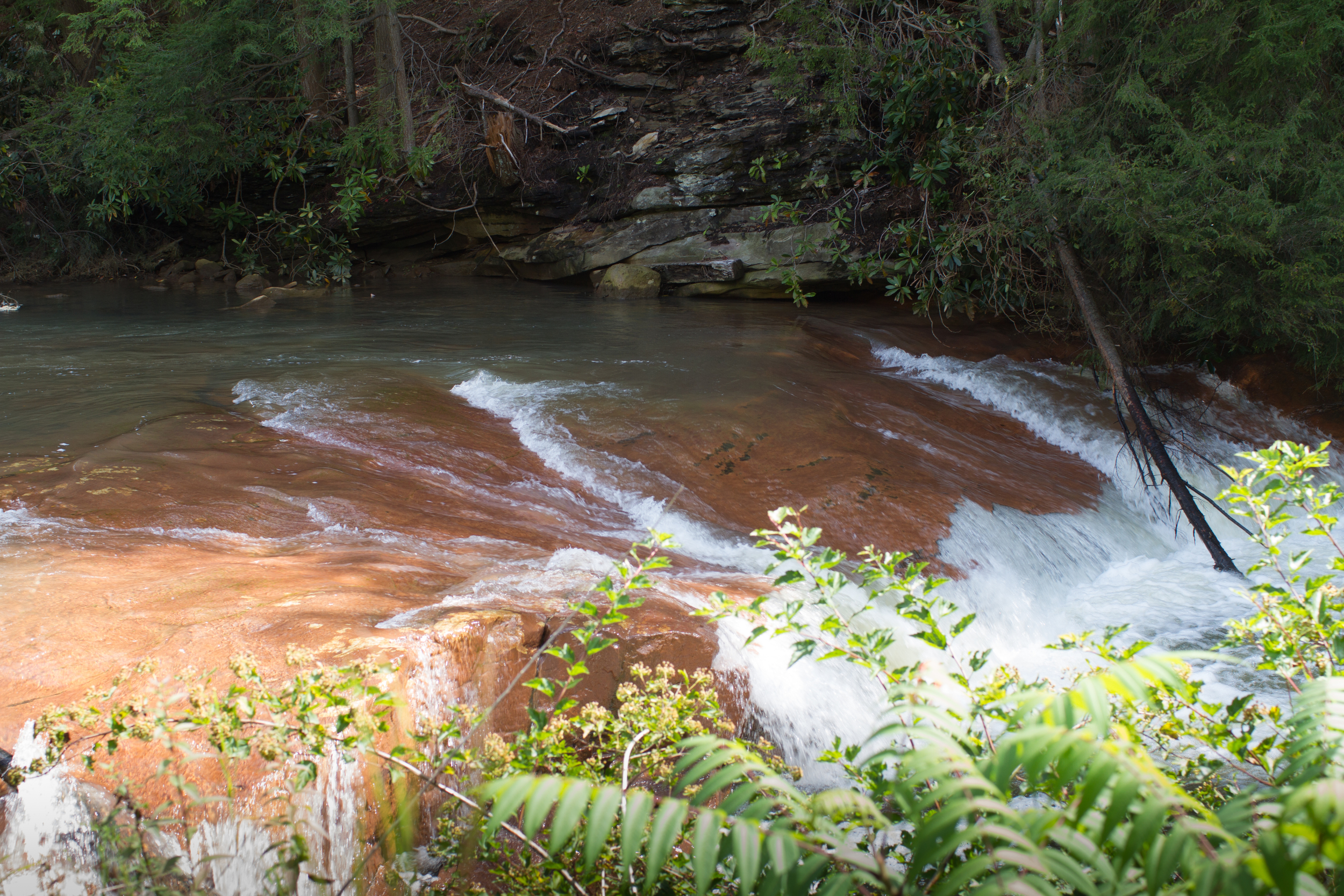
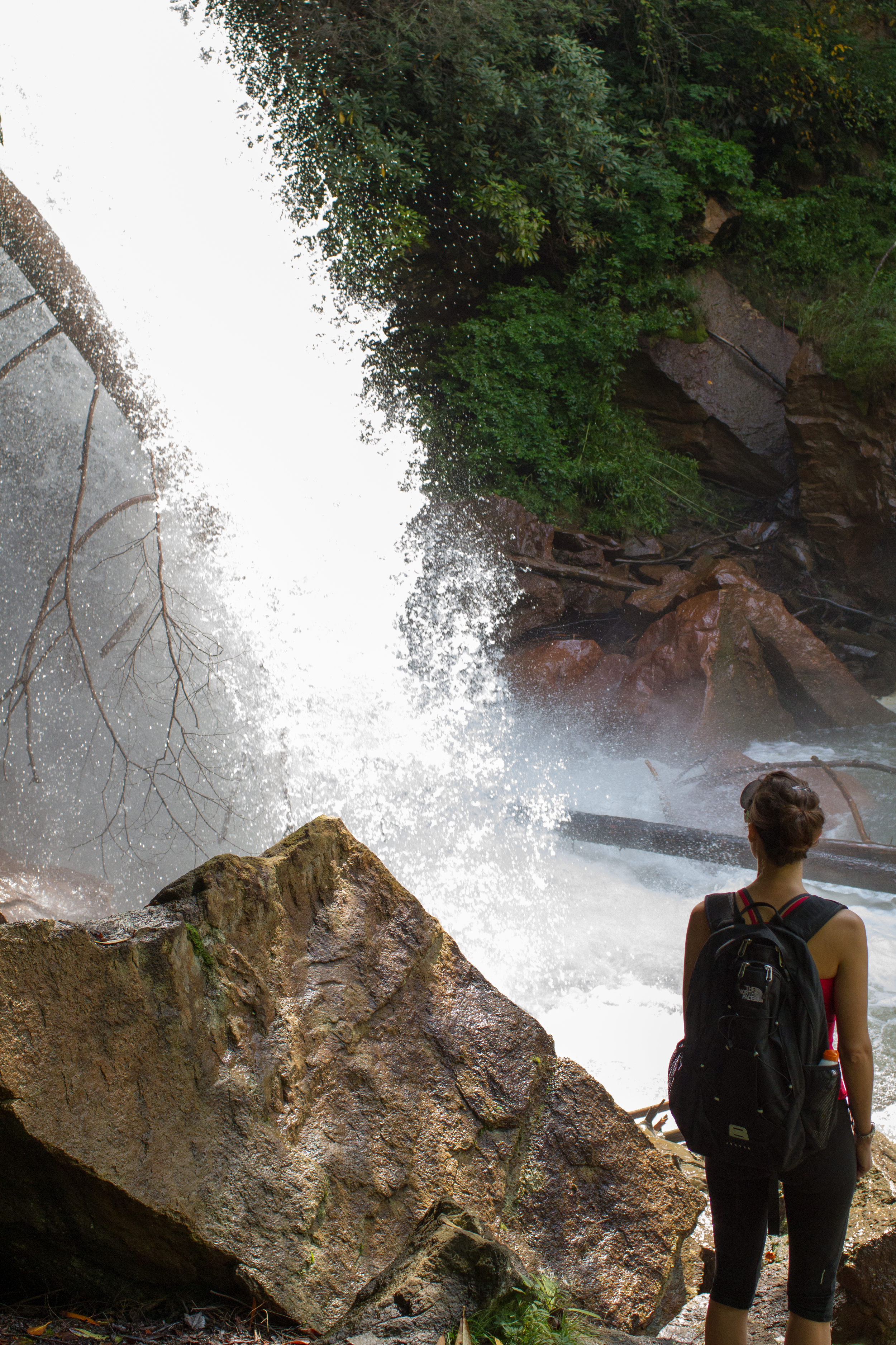
We purchased a new used 2010 Honda CR-V and decided to take her out on a little road trip to Thomas, West Virginia. Roughly an hour in, we veered somewhat off route to hit one of our favorite sandwich shops, Forlano's Market in Plains, VA where they have a delicious BLT sandwich. It's really a bacon sandwich. With satisfied bellies, we took the scenic route to Thomas, a drive filled with beautiful views of the West Virginia farmlands and mountains to include Seneca Rocks. We just love spending weekends in Thomas - we saw a great band,The Spring Standards, at the Purple Fiddle, hiked Douglas Falls, swam in a local swimming hole along the Dry Fork river, and more importantly spent time catching up with John, Julia's brother. All in all it was a great trip one where we could enjoy one of America's beautiful outdoors before heading to Quito.

To view the entire album click here.

https://www.youtube.com/watch?v=75SJiRcOmbs

IMG_6911

IMG_6919

IMG_6939

IMG_6985

IMG_7011

IMG_7027

IMG_7030

IMG_7037

IMG_7067